Friday, April 29, 2011

Trail from Hot Springs to Erwin, TN - April 26 - 29

It took us 4 and a half days to hike the 70 miles to Erwin, TN. The trail went downhill for me after Hot Springs - more development, cell towers on many mountains, more roads. The AT crosses many old logging or farming roads, and we can see houses down below us. Several times we hiked along old fields, with barbed wire fences running along them. But we can usually pretend that we're still in a forest wilderness.
 Little Laurel Shelter one day out of Hot Springs
 The AT crosses a road at Devils Fork Gap, then goes over the stile and through the meadow.
 Summit of Big Bald Mt. It was a long climb, but the grassy top had 360 degree views.
Making lunch on the top of Big Bald Mt - 5,516 ft
 An obstacle on the AT. Volunteers do a good job of maintaining the trail, but after every storm there are more trees down across the trail. It's difficult to crawl under with a backpack on.
 Grassy site along the trail, about 30 miles outside Erwin, TN
 White azaleas bloom on the trail just outside Erwin
The Nolichucky River valley
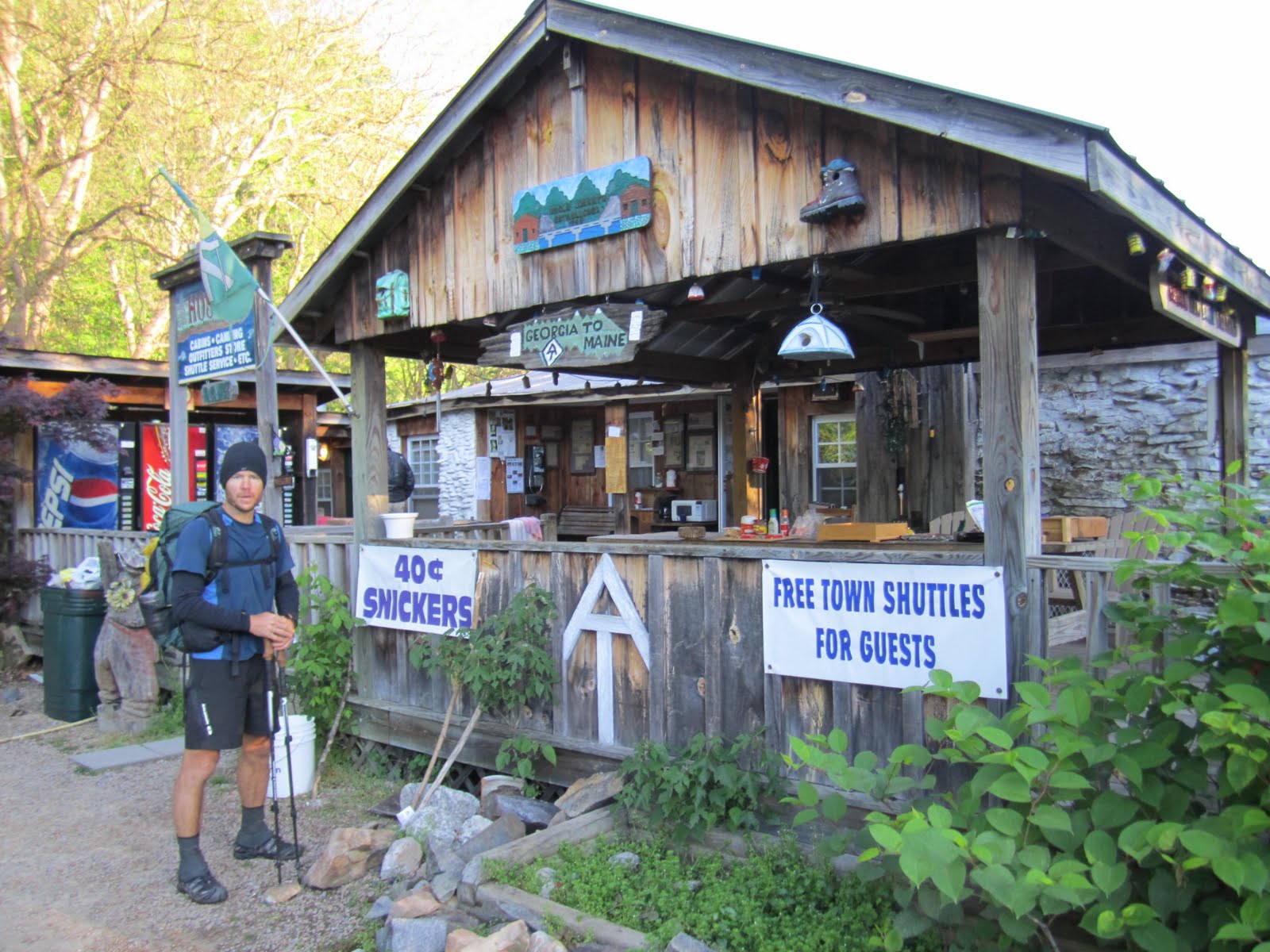
Uncle Johnys hostel in Erwin, TN. The best thing about this place was the 40 cent snickers. Everyone went into town and came back with a 12 pack of beer, so the party by the bonfire went late into the night. So much for hikers going to bed early.
The AT crosses a train track right past Erwin, and we wait for a train to go by before crossing.
We crossed the border between NC and TN so many times, we didn't know what state  we were in. The trail follows the border between the 2 states. Several times when we crossed a road, we'd see a state sign.


Hot Springs, NC - April 25-26

We came into the town of Hot Springs, NC on Monday, April 25th, right after Easter Sunday. It is a true hiker town - the AT runs right through the town. The town is not large, consisting mainly of one main street, but it has everything hikers need - post office, library, outfitters, grocery store, a few places to stay and places to eat. Hot Springs was teaming with thru-hikers. We met up with many of our old hiking acquaintences again here.
Y Knot following the AT across the road into Hot Springs

Half the town of Hot Springs can be seen in this photo
About 14 hikers met at the local grille for dinner. We met up with alot of our friends here.

About 9 hikers share a room above the sports bar
Looking back at town and the French Broad river from the north. We managed to take a wrong turn after the bridge and wasted a lot of time trying to find the AT again.
Miklman, not rested after a day in town


Monday, April 25, 2011

Trail Magic and Max Patch Bald - April 24th

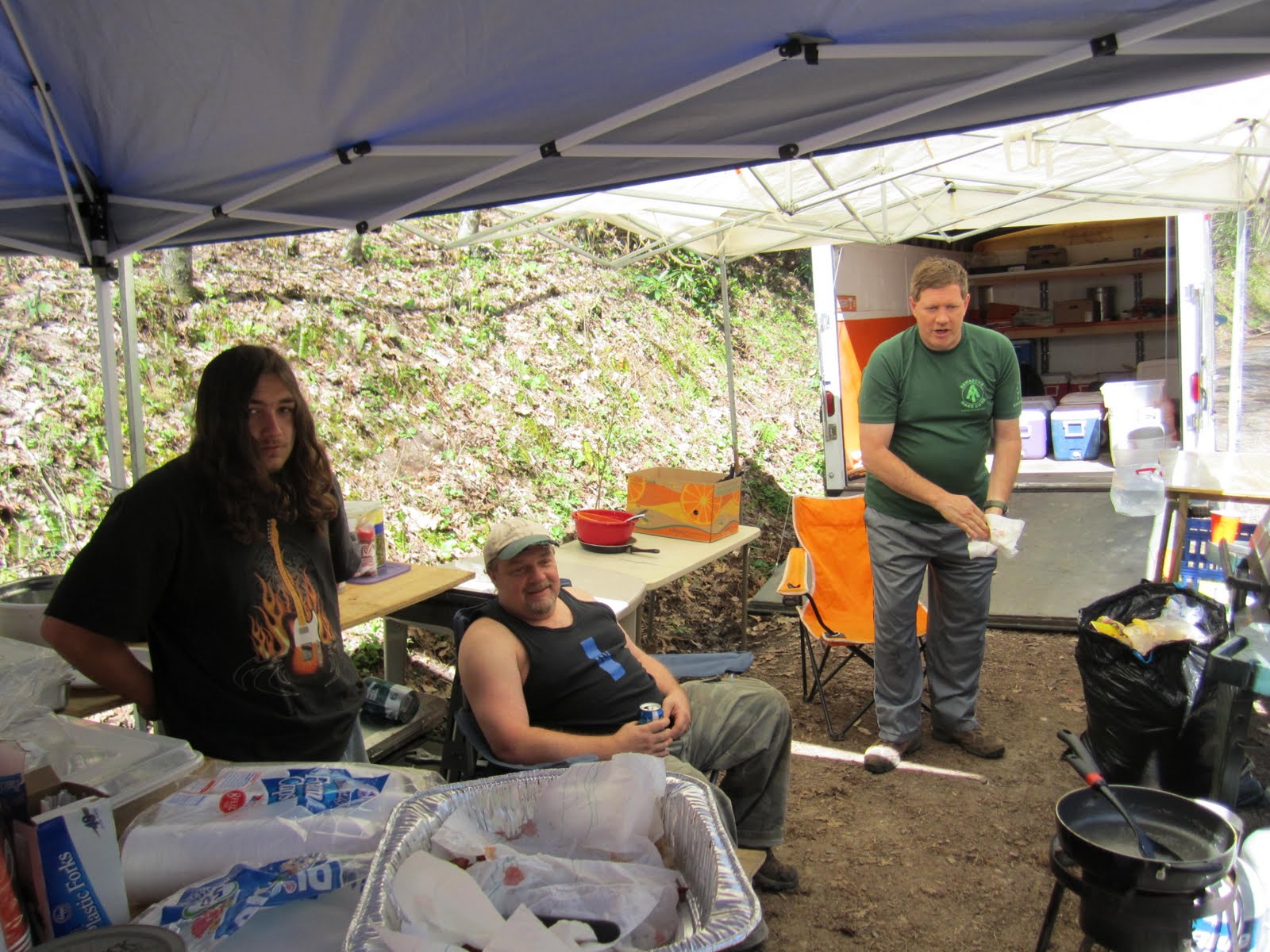
 Trail Magic! A group known as Rat Pack spends 4 days of every year setting up a huge spread of food for thru-hikers. Rat is a former hiker. We got a late breakfast of eggs, bacon, and mana cake. Then they fired up the grill and made huge burgers for lunch.

The southern Tennessee boys - Rat, Ox, and Bobby . Thanks for the trail magic!
Red trilium surrounded by Dutchman's Breeches
 Max Patch Bald. Sunday, April 24th. We took off our boots and lay in the grass for an hour here.
 View back at the Smokies from Max Patch Bald

 Painted Trilium - I can't stop taking pictures of the many kinds along the trail
The hillsides and valleys were covered with trilium

Smokey Mt National Park - Part 2

We said a final goodbye to family at Newfound Gap, and started out on a cloudy day. We did a 15 mile day, then 20, then 18, to start to make some tracks.
The trail always gets very green as we lose elevation. Here, we are heading to Davenport Gap.

 Breakfast spot along the trail, April 23rd


Wild blue dwarf iris
 View back at the Smokey Mountains. This is our breakfast spot on Snowbird Mt.
 The gated shelter doors are to keep out bears. There were no cables to hang bear bags at this shelter, so extra precaution was needed with food.


Flame azeala, starting to bloom at lower elevations
Campsite at Painted Branch, just outside Smokey NP

Smokey National Park -B&M

I can't top Rosemary's entry, so I will just post some photos from the southern part of the Smokies. Great times! (The photos are out of order, as I'm doing well if I can post pictures at all from these libraries)

 Sun Seeker gazing at acres of Spring Beauties flowering along the trail
 Having lunch at a pavilion at Fontana Dam, before leaving on our hike
 Gaining elevation as we climb Mt Shuckstack
 The rickety fire tower atop Mt Shuckstack - Sun Seeker coming back down. The floor was rotted out and covered with plywood. Still, it gave great views of Fontana Dam and the surrounding peaks.
 Starting our second day of hiking, right above our campsite
 Dinner spot at the shelter on our last night before Clingmans Dome. Sun Seeker planned our meals, so we ate much better than usual - curried rice, thai noodles with peanut sauce, and tortilla black bean soup instead of our usual Lipton noodles.
 Sun Seeker and HayMan in a rhodadenran tunnel

 Making dinner as we camp by Spence Field Shelter
 HayMan and Sun-Seeker on a grassy bald
 On the way to the summit of Thunderhead Mt
Break spot along the trail. We are tired of all the PUDs (pointless up and downs)!
View from Clingmans Dome, highest point on the AT
Looking over at Clingmans Dome the day before. It was a nice evening, but it did cloud up overnight and stormed in the morning.
Breakfast by the shelter, hiding out from the rain
Sun Seeker looking at the view on the final climb to Clingmans Dome. The weather clears as we head upwards.
The ramp up the tower on Clingmans Dome
Yeah! We did some tough miles to get to the summit on Clingmans Dome