Saturday, April 9, 2011

Trail Scenes NC


Sunset from our tent

The fire tower on Mt Albert. There was supposed to be a great view from here, but...cloudy skies.

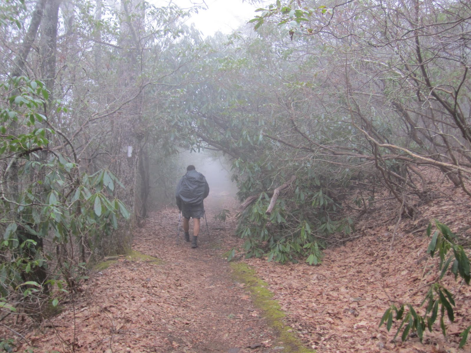
Another green tunnel of Mountain Laurel

GA/NC Border

We reached our second state, North Carolina, on Wednesday, April 6th. About 76 miles into the hike. The sign was anti-climatic, but we were still excited.

More Scenes from Georgia

Section hiker Two-Thirty talking with Y-Knot

The green tunnel

Lunch break at Tray Mt shelter

The Blueberry Patch hostel in Hiawassee. We took a 'nero' (near zero) day here. It was worth it - nice place, run by great people, with a great breakfast in the morning.

Trail scenes in Georgia

Hiking through rhodedendren forests

Setting up the tent away from the shelters (and mice, and snoring, and crowding)


View from Blood Mt, GA. View of Springer Mt to the South.

Neel's Gap - the first place to re-supply along the trail. A church group was giving free burgers to the hikers - yeah! The limit was 9 per hiker.

Break spot along the trail.

Tuesday, April 5, 2011

Trail Scenes

We want to average 12 miles per day (in order to reach Katahdin in 6 months). We're supposed to start slow and build up miles, but we've done several 13 mile days and feel ok. No injuries yet.

We've had sunny weather after the first night of rain, and the last couple of days have been hot - over 80 degrees. Last night was the first big storm we've hit, and our tent held up ok (although we did get wet, and have to dry out our gear).
Going through the arch after signing in at the Ranger station at Amicalola Falls.

First night in the shelter at Springer Mt (after that, we camped).

Cloudy weather for the first couple of days, but no heavy rain.

Hiker Hostel - March 29-30


We stayed at the Hiker Hostel, run by 2 former thru-hikers, on March 29th. They picked us up at the end of the train line from Atlanta, and drove us to the hiker hostel in Dahlongea. In the morning, they shuttled us to Amicalola Falls on 3/30. We started the hike with 3 others: Freeway, the Milkman, and Griz (Mel).


It's a 9 mile hike up Springer Mtn to the terminus of the AT. It turns out that you can drive almost to the top, but we wanted to hike the approach trail. We stayed at the Springer Mtn shelter Wednesday night, and officially started getting AT mileage the next day.
The official terminus of the AT at Springer Mountain, GA.

Monday, March 28, 2011

South Carolina

We've been visiting Mike's mom in Bluffton, SC for the past several days. Tomorrow we fly to Atlanta and stay at a hiker hostel, and Wednesday, March 30th we actually start our hike. Forecast is for 60% thunderstorms, cold and rainy. Great!

We've had some nice days in SC - warm and sunny. Alligators swim in the lagoons and sun themselves on the banks. You can see them all over the place.