Thursday, June 16, 2011

Duncannon, PA - mile 1,138 June 15

We finally got a break in the weather and got into the low 80's, rather than mid-90's. It's so much better to hike in cooler weather. Plus, PA had some easier terrain. We had about 15 miles of flat terrain as we crossed the Cumberland Valley, through fields and farmland. It made a nice change from being in the woods. But the infamous Pennsylvania rocks are coming up.

 Crossing a road in PA. Y-Knot bought mister bottles that we use to spray water on ourselves. It keeps us cool, for about 5 minutes anyway.
 Trail magic! A hiking club put out food for thru-hikers: burgers, watermelon, cantelope, blueberries, cherries, blueberry pie. So good. It was great to get fresh fruit on the trail.
 The official sign for the halfway point, mile 1,090.5. Actually, the trail mileage changes every year and this year the total is 2,181 miles.
So many miles hiked, so many more to go.
 The half gallon challange at Pine Grove Furnance camp store. Mike and I split a half gallon. H3, the hiker on the left, had no problem finishing off a half gallon, and ate dinner afterwards. Some other hikers took the challange and then felt sick.
 The AT drops down out of the mountains to the Cumberland Valley. We had some flat miles in this section.
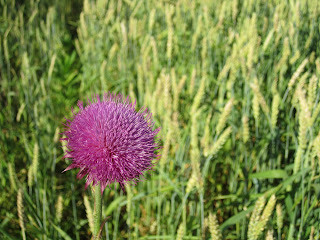
 We passed through farmland and fields of wheat and corn. This terrain makes a really nice change from being in the woods all day.
Heading in to Boiling Springs, PA, through a cornfield.
 This house in Boiling Springs was part of the underground railway.
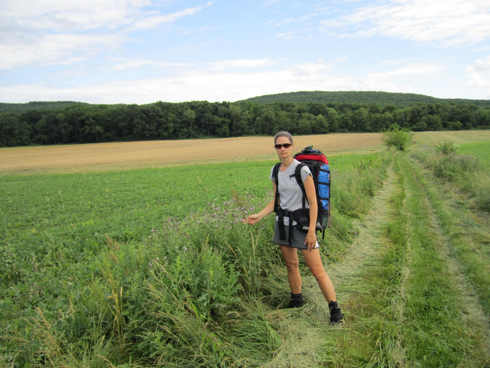
 Crossing through farmland in the Cumberland Valley, PA
 We had an easy 15 miles as the AT went across the valley floor.
We found blackberries along the path.
 Cumberland Valley farmland

 The grass fields looked nice, but were a pain to hike through. Also, we had to keep checking ourselves for ticks - they love tall grass.
Camped by Cove Mtn shelter with Bald Eagle and Vegan
 Overlooking Duncannon and the Susquehannah River, PA
Mike's mom and Tony meet us at the Doyle hotel in Duncannon

Harpers Ferry to Pennsylvania border - mile 1056

Once we crossed the Potomac River leaving Harpers Ferry, we were in Maryland. There are only 42 miles of trail in MD, so we were through our 6th state in a couple of days. We crossed the Mason-Dixon line shortly after reaching PA, so we are back in the North again. I am happy to leave the south behind and head into an area I am familiar with.

 We crossed the Shenandoah and Potomac Rivers on the way out of Harpers Ferry. The railroad trestle ran right alongside the footbridge. Trains went by pretty frequently.
 The C&O canal ran from here to Washington, DC, before it got replaced by the train lines. We got to walk 3 miles of flat, easy trail along the old canal.
 The Appalachian Trail only followed the canal for 3 miles. Too bad, it was such easy walking.
 The C&O canal is also part of a popular bike route. Next bike trip will be here!
 Weaverton Cliffs, MD - overlooking the Potomac River
We could see Harpers Ferry and both the Shenandoah and Potomac Rivers from Weaverton Cliffs.

A civil war monument in Gathland state park. There were many battlefields from the civil war in this area - a lot of history.
 A monument to George Washington, one of the earliest erected. From the top, we could see the Antietam battlefield, which was the site of a major civil war battle.
 White Cliff Rocks overview, Maryland
 Overview point, MD
 There was no sign for the border of Pennsylvania, but it was right over these railroad tracks, leaving PenMar state park.
Yeah! We are finally out of the south and heading north!

Shenandoah to Harpers Ferry, WV - mile 1041

The weather was still hot and humid as we finished Shenandoah NP. We hit the border of West Virginia, our 5th state, and shortly thereafter reached the 1,000 mile mark on the trail. The next day, we made it into Harpers Ferry and got our pictures taken at the ATC headquarters. Finally, we feel like we've made some progress on the trail. We were hikers #530 and 531 when we signed in at the Rangers Station at Amicalola Falls in Georgia. We were hikers #365 and 366 in Harpers Ferry. So either we passed a lot of people (some, but not that many), or a significant number of hikers have dropped out. More than half of the thru-hikers have dropped out by this point.

 Back on the trail - Rosie and Pete drop us off at Thornton Gap and fly back to NY, and we head north on the AT again.
A tunnel of mountain laurel
 Overlook in the Shenandoahs
The Skyline Drive can be seen from this viewpoint
 Wild honeysuckle. This vine grows profusely at the edge of woods and fields and has a strong, sweet scent. We can smell it for miles as we hike by.
The Jim &Molly Denton shelter on the AT. This shelter was luxurious by AT standards - it had a porch with chairs, a pavilion with a picnic table, and even a solar shower. (The shower was just a hose piped in the the brook, but it was still impressive). 
 The border sign for West Viringia. Hooray, we made it out of Virgina!
This is the official sign for the 1,000th mile marker on the AT.
 After a tough day of hiking the 'roller coaster', we stopped for the night at the Blackburn AT center. We got a great salad and spaghetti dinner, and slept on the porch. Great place!
 Orange tree fungus
The ATC headquarters in Harpers Ferry, WV. Thru-hikers get their pictures taken here, and it's considered the unofficial half-way point on the trail.
We stayed at the Towns Inn/hostel in the historic section of Harpers Ferry
 The old section of town was very quaint. A lot of civil war history happened here. Unfortunately, it was 98 degrees out and we barely had energy to walk, let alone tour the town.
Our room at the historic Towns Inn in Harpers Ferry. Watch your head on the low, historic doorways!
Harpers Ferry, WV