It took us 4 and a half days to hike the 70 miles to Erwin, TN. The trail went downhill for me after Hot Springs - more development, cell towers on many mountains, more roads. The AT crosses many old logging or farming roads, and we can see houses down below us. Several times we hiked along old fields, with barbed wire fences running along them. But we can usually pretend that we're still in a forest wilderness.
Little Laurel Shelter one day out of Hot Springs
The AT crosses a road at Devils Fork Gap, then goes over the stile and through the meadow.
Summit of Big Bald Mt. It was a long climb, but the grassy top had 360 degree views.
Making lunch on the top of Big Bald Mt - 5,516 ft
An obstacle on the AT. Volunteers do a good job of maintaining the trail, but after every storm there are more trees down across the trail. It's difficult to crawl under with a backpack on.
Grassy site along the trail, about 30 miles outside Erwin, TN
White azaleas bloom on the trail just outside Erwin
The Nolichucky River valley
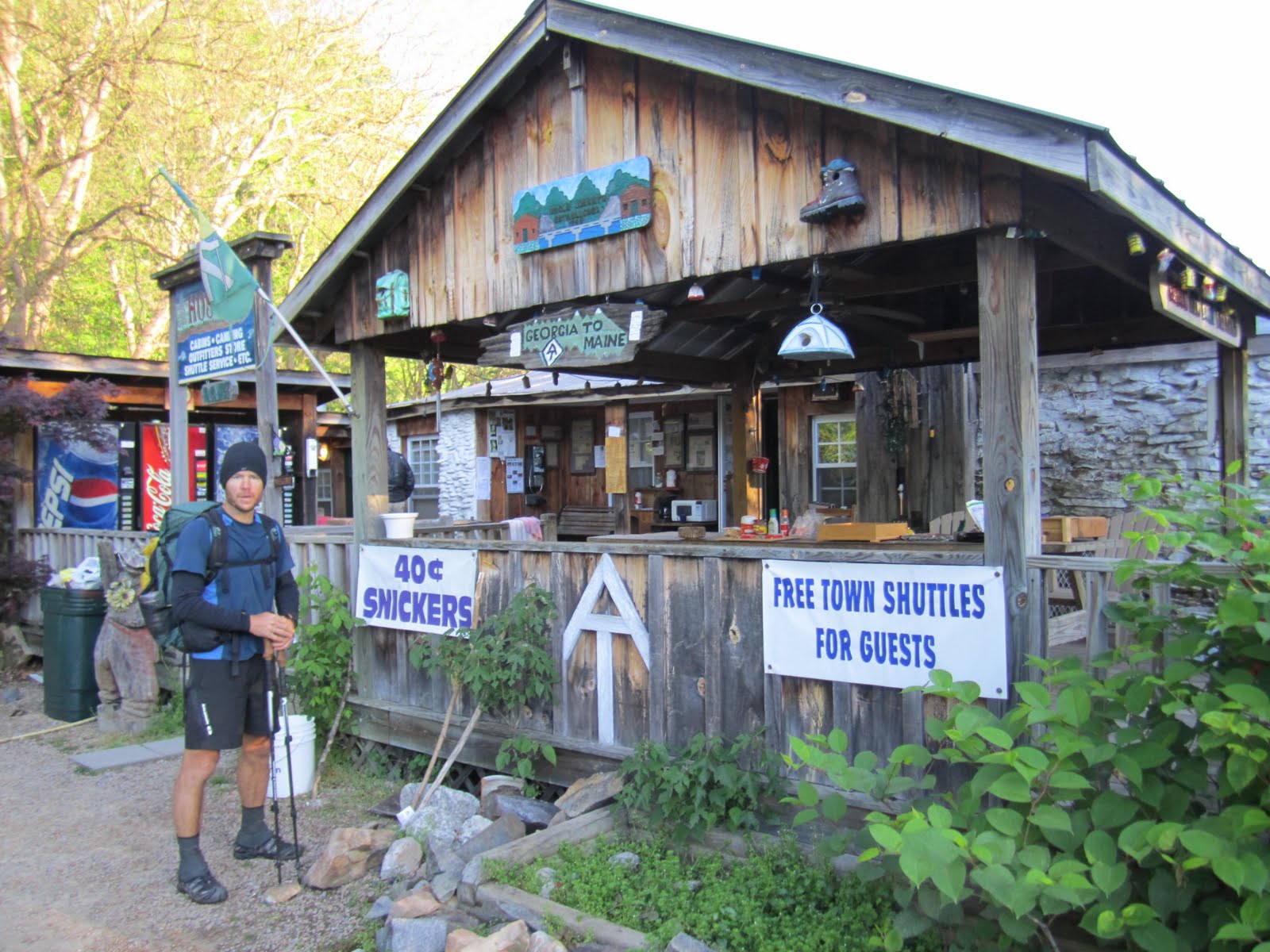
Uncle Johnys hostel in Erwin, TN. The best thing about this place was the 40 cent snickers. Everyone went into town and came back with a 12 pack of beer, so the party by the bonfire went late into the night. So much for hikers going to bed early.
The AT crosses a train track right past Erwin, and we wait for a train to go by before crossing.
We crossed the border between NC and TN so many times, we didn't know what state we were in. The trail follows the border between the 2 states. Several times when we crossed a road, we'd see a state sign.


1 comment:
Balance, your mom is awesome, she gave us a ride from Clingman's Dome!!! I'm so glad I found your blog....maybe we'll meet you guys at Trail Days-Journey & Japhy
Post a Comment